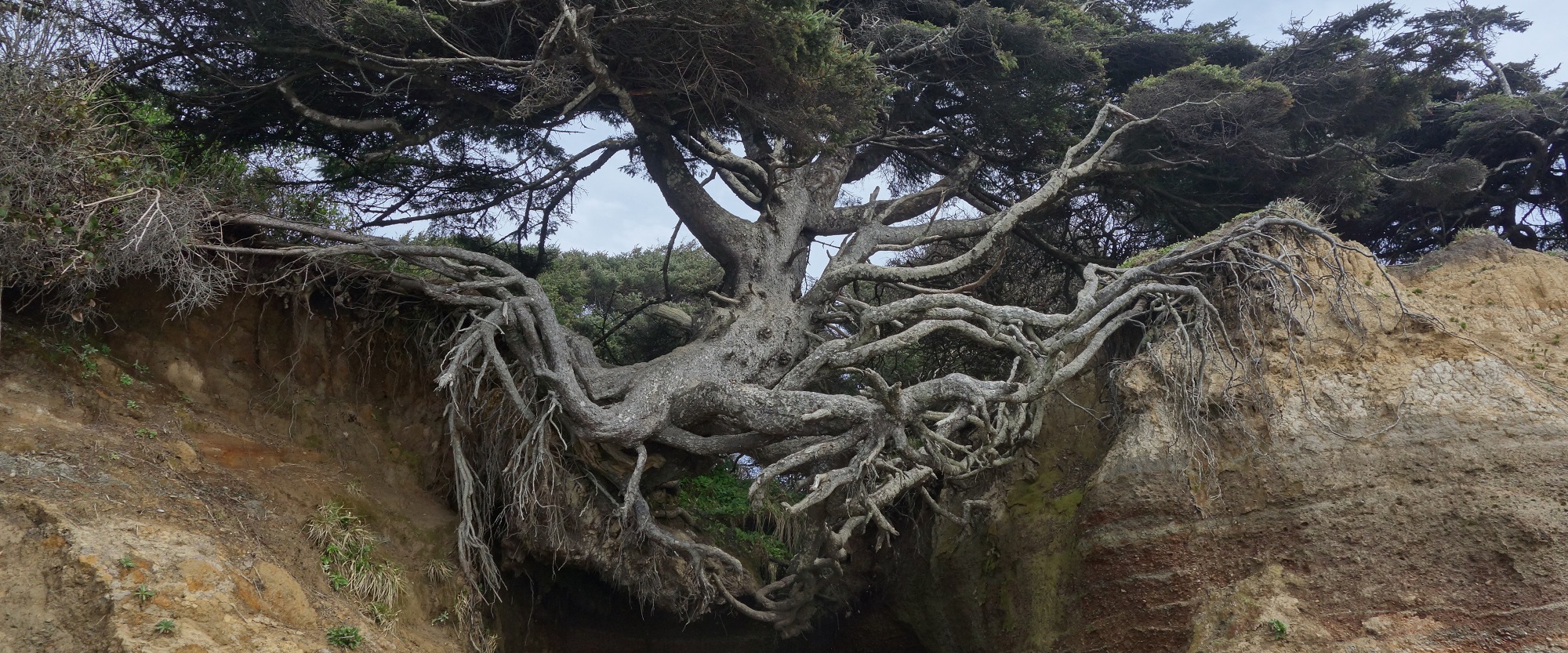

 This page is reserved for tactics, resources, and results of site assessments methods we are testing in the Green Cove Watershed. Site assessment is usually at the scale of a parcel or cluster of parcels (read about systems assessment for stewardship design). It is a form of study in preparation for restoration or protection (read about three capabilities). I prefer to assess in bloom, drying or harvest because of fair weather, full development of leaves and flowers, and the overlap with site preparation (read about the eight seasons in general, or more specifically about cycles of plant-soil work.)
Climate varies predictable nuance across the lowland Salish Sea, and so is more a matter of general education than site specific analysis.
Landform, Soils and Water
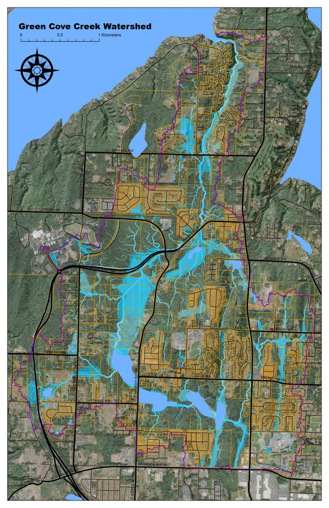
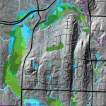 Initial assessment of topography, soils, and hydrologic patterns in the Salish Sea benefit from the use of state and local data, with a geographic information system. The Guild can publish watershed scale analyses as KMZ files, which can be viewed using Google Earth Pro. We can develop common data sources and methods for the technical work, and also teach strategies for viewing and interpreting local data, on the desktop and on the ground.
- Google Earth Package For Green Cove Watershed – includes DNR streams, waterbodies and soils, LiDAR derived flow pathways and depressions, County wetland and parcels boundaries, Urban Growth Area boundaries, and Ecology wetland probability. We need to further standardize contents and cartography… ideas welcome.
Vegetation Inventory
 A starting place for a site assessment is a vegetation inventory–a list of all the plant species present within an area. The overall assemblage and species distribution can tell stories of the site history and condition. We are developing a standard set of tools and protocols for visiting a site, creating and interpreting a professional quality plant list, and sharing that documentation with other guild members.
- Lowland Puget Sound Plant List – a working product that includes 445 of the most common lowland plant species you can sort by form, family, or wetland code. We are adding additional non-native species over time, following USDA conventions. This is a “lookup” reference for all subsequent products using 6 letter codes
- Vegetation Inventory Sheet – A form I can pull up on my phone using a Google Sheet app, when exploring a new vegetation patch. It lets me produce a professional quality record in a few minutes using six letter codes (PSEMEN = Pseudotsuga menzeisii).
- Forest Observation Skill Sheet – our first skill sheet–a condensation of forest ecology topics, to support a “newbie” in making observations of a forest’s structure. We can complete additional skill sheets and other self-study aids.
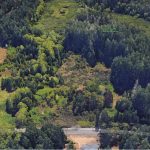
Vegetation Inventory Atlas
The embedded google map below is a prototype of our data management strategy. Each polygon links to a stable “place page” on the Salish Sea Restoration wiki. From there you can get a site introduction and follow links to relevant documents, including vegetation inventory sheets hosted on the guild’s google drive. The overall structure is both free, and fairly resilient under update. The wiki page and google map remain stable, while the KMZ file and information stored on the wiki page fluctuate. Thus you can add a new site, or add additional information about sites, without updating the underlying architecture.
Workflow
Below is a proposed standard new site visit protocol that establishes a spatial location and an associated wiki page. This is roughly similar to the larger scale pattern on the watersheds page.
- Research soils, hydrology and canopy from desktop and anticipate vegetation zones.
- Arrive at field with data and smart phone (or synced sheet) and paper aerial photo with draft zones.
- Use Google Docs App to copy new vegetation inventory sheet to public folder and name appropriately.
- Use Google Sheet App to complete vegetation inventory, sketch survey area boundary.
- Add any new species to the master plant list, clean up the sheet, and add any notes. Copy a view-only link to the sheet.
- Return to desktop, use Google Earth Pro to create and name a new polygon and add to vegetation survey folder.
- Create a new sub-section in the wiki-page for your place. Add the view-only link to your vegetation inventory sheet.
- Save the wiki page, and copy the wiki page address to your Google Earth polygon.
- Save all polygons in your Google Earth Folder (including new survey site) as KMZ (add date to file name).
- Open Google Map, and upload the new KMZ into the existing map, and delete the old map (this should update all web based maps.)